Delayed Monsoon Set to Return Soon
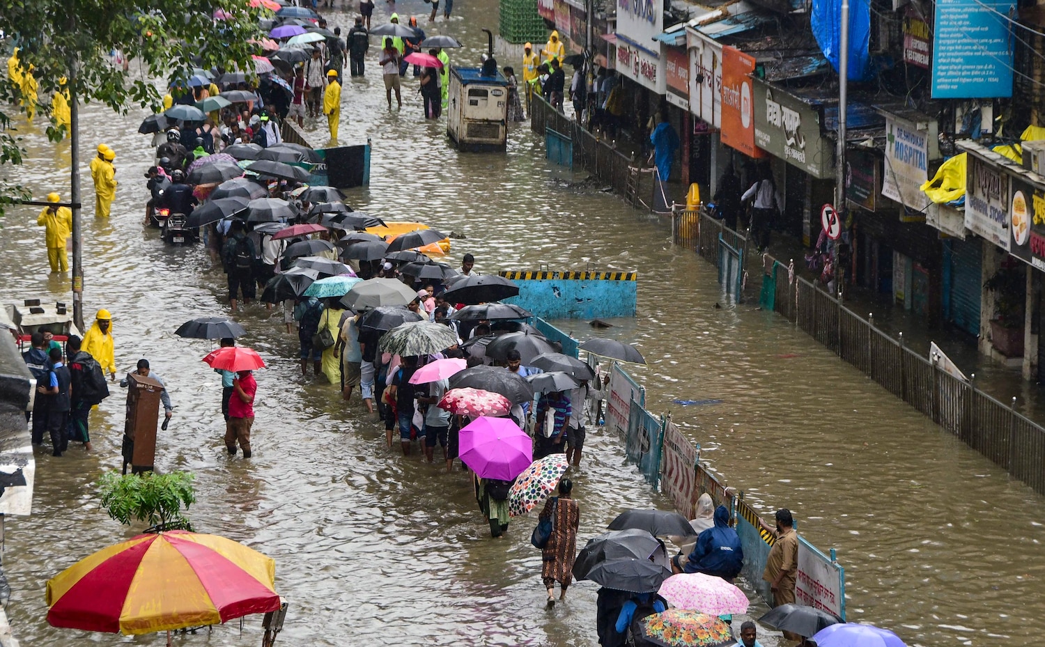
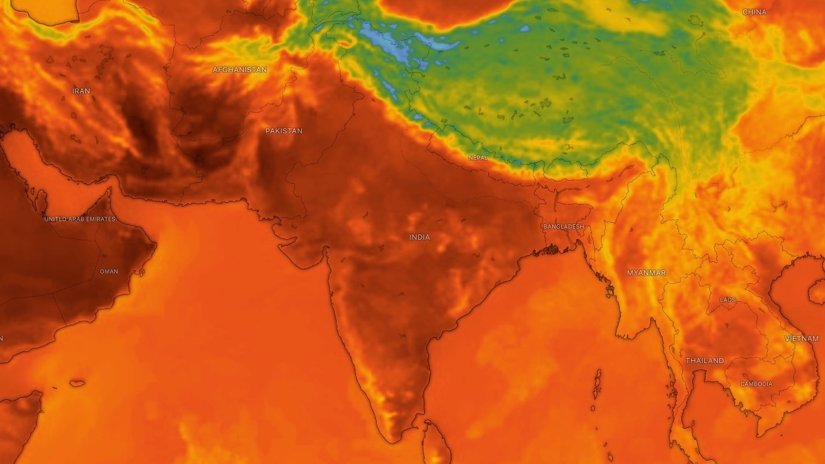
While eastern India continues to receive rainfall, the western, northern, and central regions are grappling with a dry spell. This is adversely affecting crucial crops like paddy, maize, and pulses, while also depleting reservoir levels necessary for drinking water and irrigation. The meteorological department notes that the monsoon trough line has shifted from its normal position, preventing moisture-laden winds from reaching these areas in adequate amounts.
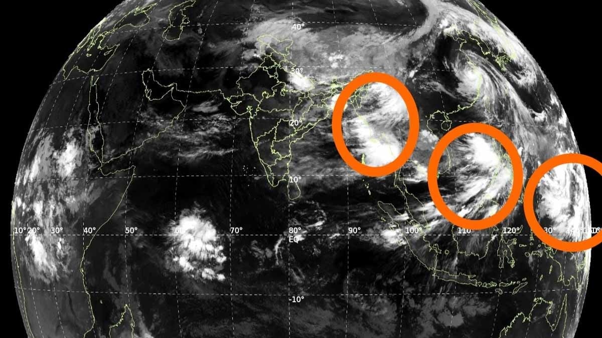
The developing tropical systems or low-pressure areas in the Pacific could be the much-needed game-changer. If they move westward and enter the Bay of Bengal, they can strengthen the monsoon currents. International and Indian forecasting models like ECMWF, GFS, and IMD align with this possibility.
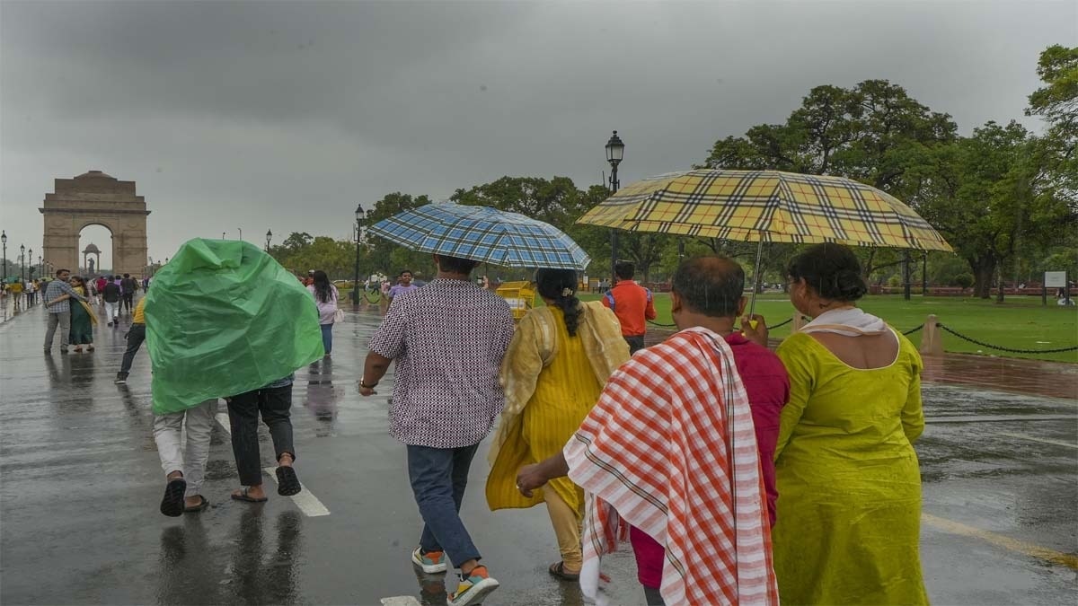
Additionally, there is positive news for North India. A Western Disturbance is entering the northwest region, which will affect parts of Punjab, Jammu and Kashmir, Himachal Pradesh, Haryana, and north-western Rajasthan. Over the next 2-3 days, these areas might experience isolated thunderstorms and rain, providing immediate, albeit regional, relief to crops and water bodies.
### Crucial Window: July 18-25
The period from July 18 to 25 is considered highly critical. If the Pacific systems activate over the Bay of Bengal, they will strengthen lower-level winds and restore the monsoon trough to its normal position. This would bring substantial rainfall to drought-hit regions like Central India, North India, Rajasthan, and Gujarat. While climate change continues to make monsoon patterns increasingly erratic and difficult to predict, these emerging systems offer strong hope for a robust revival of the monsoon season.